Leave the motorway junction at Aosta Ovest and continue north-east for 35 metres (0.04 km). Take the junction for the and continue for 900m (0.94km) until you reach the roundabout. At the roundabout, take the second exit and join the state road in the Aosta Valley. Continue for 4.3 km (5.24 km) until you reach the next roundabout. At the roundabout, take the first exit and stay on the for 550 m (5.79 km). Turn slightly right to stay on the and continue for 3.7 km (9.49 km). At the roundabout, take the first exit and continue on the for 2.2 km (11.69 km). At the next roundabout, take the second exit and stay on the for 14.1 km (25.79 km). Continue straight on the and carry on for 4.4 km (30.19 km) until you reach a roundabout. At the roundabout, take the second exit and stay on the for 800 m (30.99 km). Turn slightly right and join Vicolo Dolonne; continue for 140 m (31.13 km), passing through the roundabout. Keep left and continue along Strada Margherita for 42 metres (31.17 km). Turn left onto Via Circonvallazione and continue for 210 metres (31.38 km). Continue along Viale Monte Bianco for 300m (31.68km). At the roundabout, take the second exit and turn onto Strada Sergio Viotto, continuing for 170m (31.85km). Turn right onto Strada Adolphe Rey and continue for 160 metres (32.01 km). Continue along Strada Grand Ru for 260 metres (32.27 km). Turn left onto Strada del Villair and continue for 600m (32.87km). Continue along Strada Rue Val Sapin for 550m (33.42km) until you reach the village of Raffort, where the car park is located.
Car park
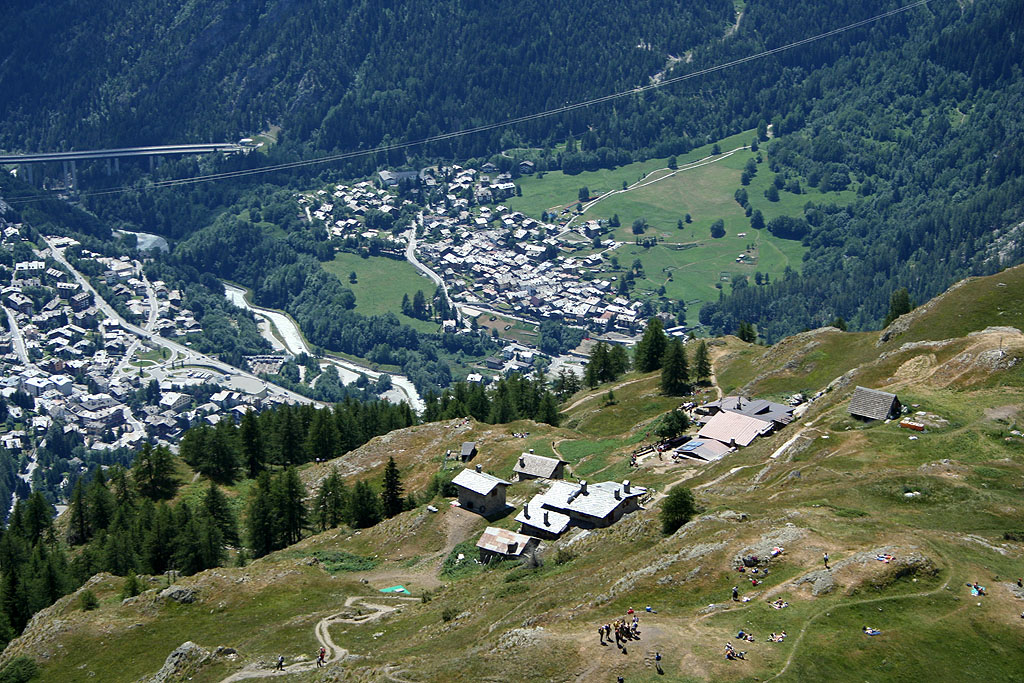
In Raffort, there is a free 🅿️ car park at the end of the local road, near the village. The car park is the starting point of the route. Parking spaces are limited: please avoid obstructing local traffic.
Access by public transport
The town of Courmayeur is served by regular bus services operated by Arriva Valle d’Aosta. Raffort is not directly served by dedicated bus stops: you will need to walk from the centre of Courmayeur. Please check timetables and frequencies in advance, as these may vary during public holidays or seasonal periods.
The directions provided were verified on the date the route was mapped. Before setting off, we recommend checking for any changes to the route or road conditions. For up-to-date information, please consult Google Maps or Apple Maps.
Introduction
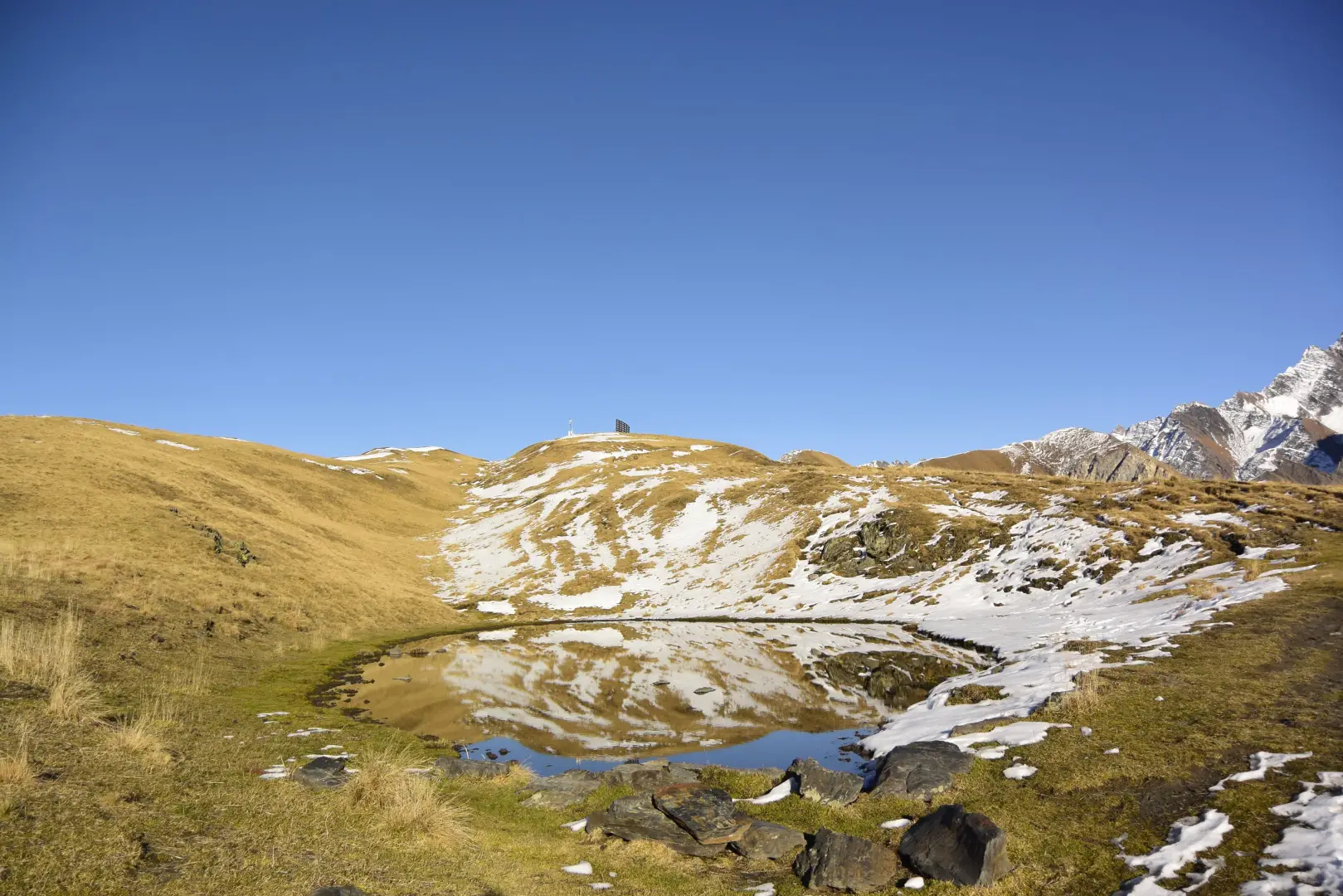
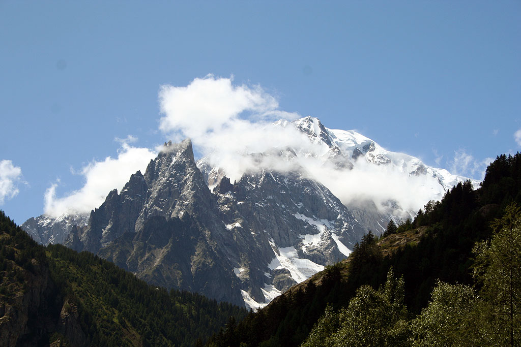
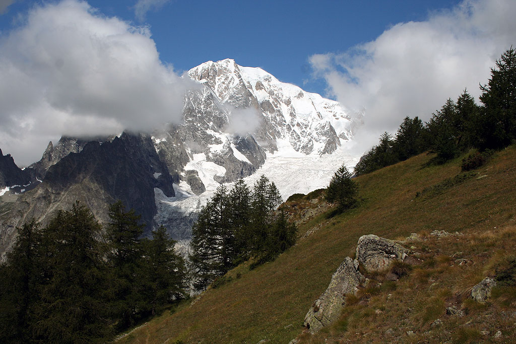
A climb that starts from the Courmayeur valley floor, ascends to the Bertone Refuge and continues along the grassy ridge of Mont de la Saxe, at the foot of the southern face of the Mont Blanc Massif. The route alternates between an initial stretch through a forest of larch and Scots pine and a long stretch offering panoramic views of the Mont Blanc range and the Grandes Jorasses, which are reflected in the temporary lakes on the summit ridge. At the start of the season, the small lakes still hold patches of residual snow; in autumn, the surrounding pastures and peaks take on rich, contrasting colours. The final section runs along a long grassy ridge with no distinct summit: the ridge continues on towards Testa Bernarda without an obvious end point, and in foggy conditions, navigation requires caution.
Description
0h00'0.00 km
Leave the Raffort car park and continue along a narrow road, which is tarmac at first but turns to a track at a chalet on the left. Take a tree-lined path that climbs up the left bank of the Val Sapin stream to a signpost with the Espace Mont Blanc trail map and the signpost indicating trail
to the Bertone Refuge. Pass a barrier and continue along the dirt track; cross the stream via a small concrete bridge and climb gently, with views of Mont Blanc, theAiguille Noire de Peuterey and Mont Chetif, until you reach the Belvedere junction (1,403m).
0h05'0.18 km
At the junction for Belvedere (1,580 m), follow the farm track to the left, path
; to reach the Bertone Mountain Hut, continue along path
, ignoring the turn-off for La Saxe (1,226 m). Cross a Scots pine forest (Pinus sylvestris) and silver birch (Betula pendula), with no significant change in altitude, until you reach the farm track again, marked by a signpost, at the junction for Trappa (1,465 m).
0h15'0.50km
At the junction, the farm track continues towards Trappa: carry on along path
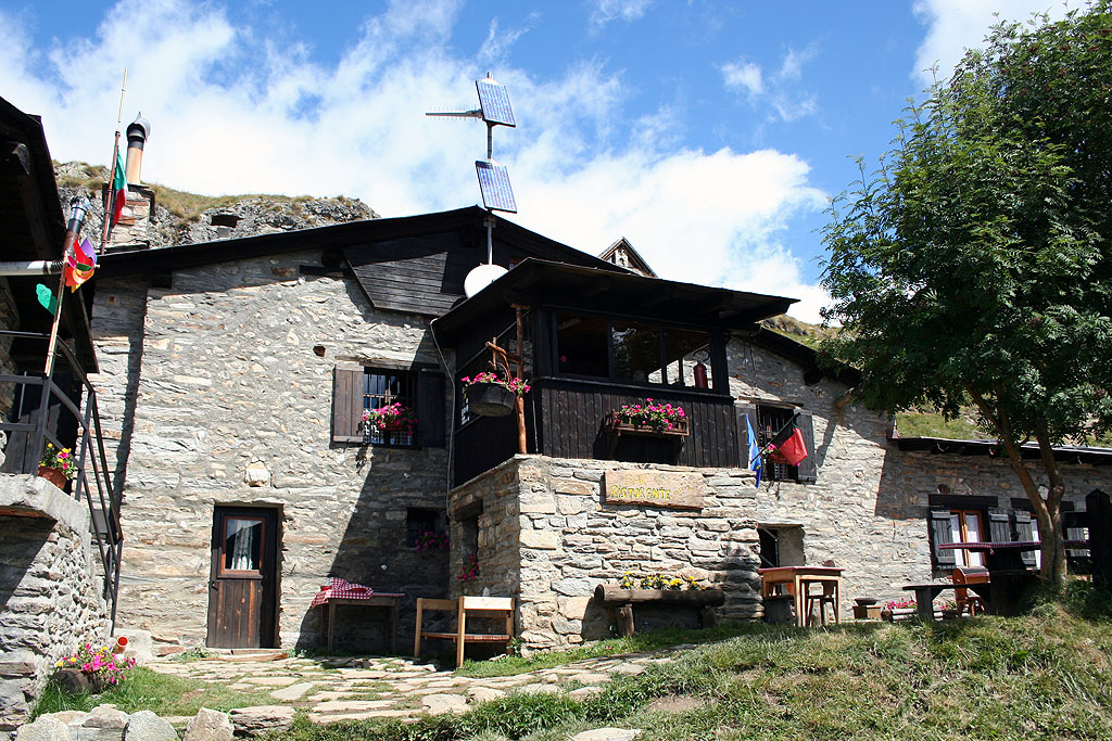
, which turns left and climbs through a larch forest (Larix decidua) until you reach the monument dedicated to the Aosta Battalion (1,565m). Continue the ascent through the woodland, with panoramic views of the mountains of La Thuile, Mont Crammont and Courmayeur below, until you leave thelast stretch of larch trees and reach a signpost at the foot of the Bertone Mountain Hut, at Praz de la Saxe (1,984m).
1h45'2.62 km (620 m ascent) (10 m descent)
Follow the path round a few bends until you reach a small pass where there is a signpost and an orientation board.
1h55'2.84km
From the pass, climb the steep grassy slope following the signposts for Testa Bernarda until you reach the grassy ridge facing the Mont Blanc massif, dotted with temporary lakes in whose waters the Grandes Jorasses are reflected. The path runs along the summit of Mont de la Saxe (2,346m), topped by an avalanche barrier [2h30’T2] 5.09km .
The return journey follows the same route taken on the ascent 1h30'5.08km .
Visitor information
The section leading up to the Bertone Mountain Hut is used as part of the route for two running events: the Arrancabirra race on 10 October and, in the last week of August, the CCC race as part of the UTMB circuit. On both dates, an increase in hiking traffic along the trail and a concentrated influx of visitors to the refuge are to be expected.
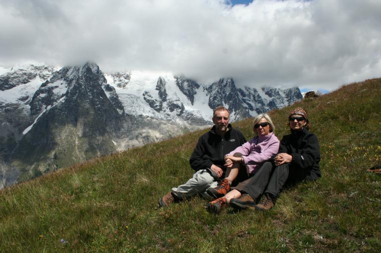
Gita al Rifugio Bertone con prolungamento sino al sovrastante Mont de la Saxe, difficile da individuare esattamente perchè non c'è una vera e propria cima, ma è un lungo crinale che porta a Testa Bernarda. Noi ci siamo fermati a quota 2220. Un vero peccato le nuvole che cingevano tutta la catena del Bianco. Si tratta di una località che merita di essere raggiunta con condizioni meteo perfette, per godere di uno dei panorami più belli delle Alpi.
Ora è possibile parcheggiare molto più avanti rispetto alle indicazioni della relazione. C'è un parcheggio sterrato (una ventina di posti) poco prima del ponte, dove ci sono le paline e il tabellone. C'è una strada sterrata ma carrozzabile (che non ricordavo) che prosegue ben oltre il ponte; la si segue per un breve tratto e poi si trova, sulla destra, il sentiero. Dopo una ventina di minuti la si incrocia nuovamente; la si percorre pochi metri verso destra e si riprende il sentiero che riparte sulla sinistra. Per il resto è tutto sentiero ben descritto nella relazione.


Comments (0)
Sign in to leave a comment